

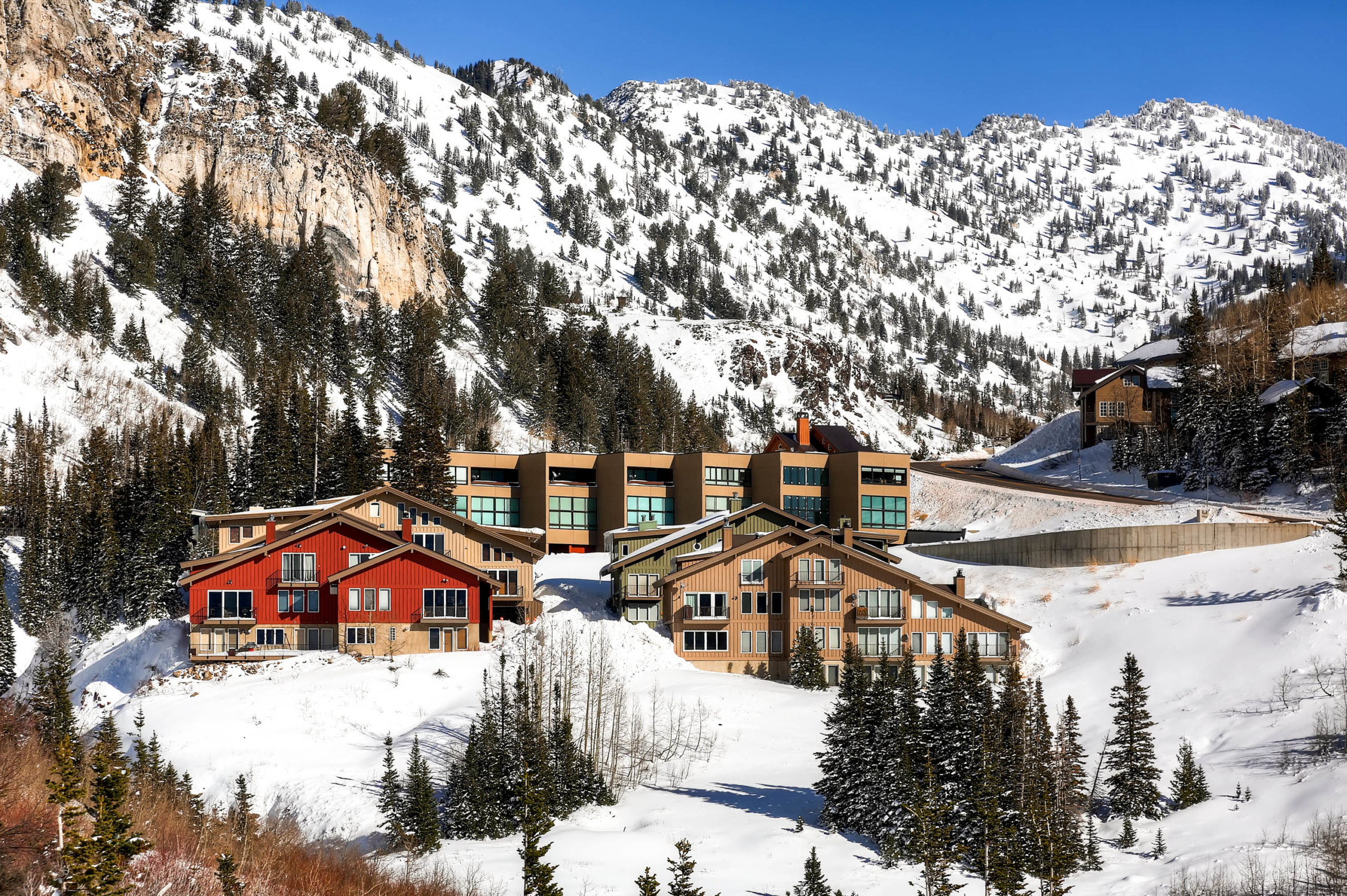
How do I get from the Superior Point Condominiums to Alta and Snowbird? Superior Point Condominiums are located just above the Wasatch Powderbird Heliport right along the Bypass Road, above the Cliff Lodge and Snowbird Center. The Bypass Road starts at Snowbird Entry Four and follows the curve of the mountain on up to Alta. Although technically located in the Town of Alta, these condominiums are physically closer to Snowbird.
As Superior Point are the closest condominiums to Snowbird, skiing down to start your ski day is quick and easy. To get to Snowbird, you would walk up a short driveway, cross the Bypass Road, step into your skis and ski down to Snowbird. This trail follows the road and joins up with the bottom of the “Whodunnit” run. From there it is a short distance to Peruvian Express, The Snowbird Center and Tram or you can make your way over to the Wilbere Lift or the Gad Valley (Gadzoom and Midgad Lifts). Many day skiers park at the area near the heli-port and use this as their access to Snowbird.
At the end of the day, there are multiple ways to get home from Snowbird. To ski back to Superior Point, you can take either the Peruvian Express or Tram and then follow the signs for the “Fun Run” or Chips – this is marked with blue trail markers. Follow this down to “Whodunnit” – this will initially be a cat track. You can either stay higher up and ski down past The View and the Village at Sugarplum through the trees back to Superior Point or you can ski on a lower path that puts you close to the driveway that you started from.
To get to Alta from Superior Point, you can jump on the Alta Resort Shuttle which makes a continuous loop of the Bypass Road during daytime hours. It will typically take just a few minutes to get up to the Collins or Sunnyside base areas at Alta. After skiing, you can utilize this same shuttle to bring you back to the property. You can ski back to Superior Point from Alta if you are an advanced off-piste skier. Note this shuttle service does not run after 5:00pm.
Special Notes:
As with any of the runs at Alta and Snowbird, access is based on the current conditions.
When looking at a Snowbird trail map, Whodunnit is in the lower left corner.